
Mobile Location Data SDK for Customer Apps
Position-Accurate Indoor Locating, Interactive Wayfinding and Context-Aware Services with Full Data Sovereignty
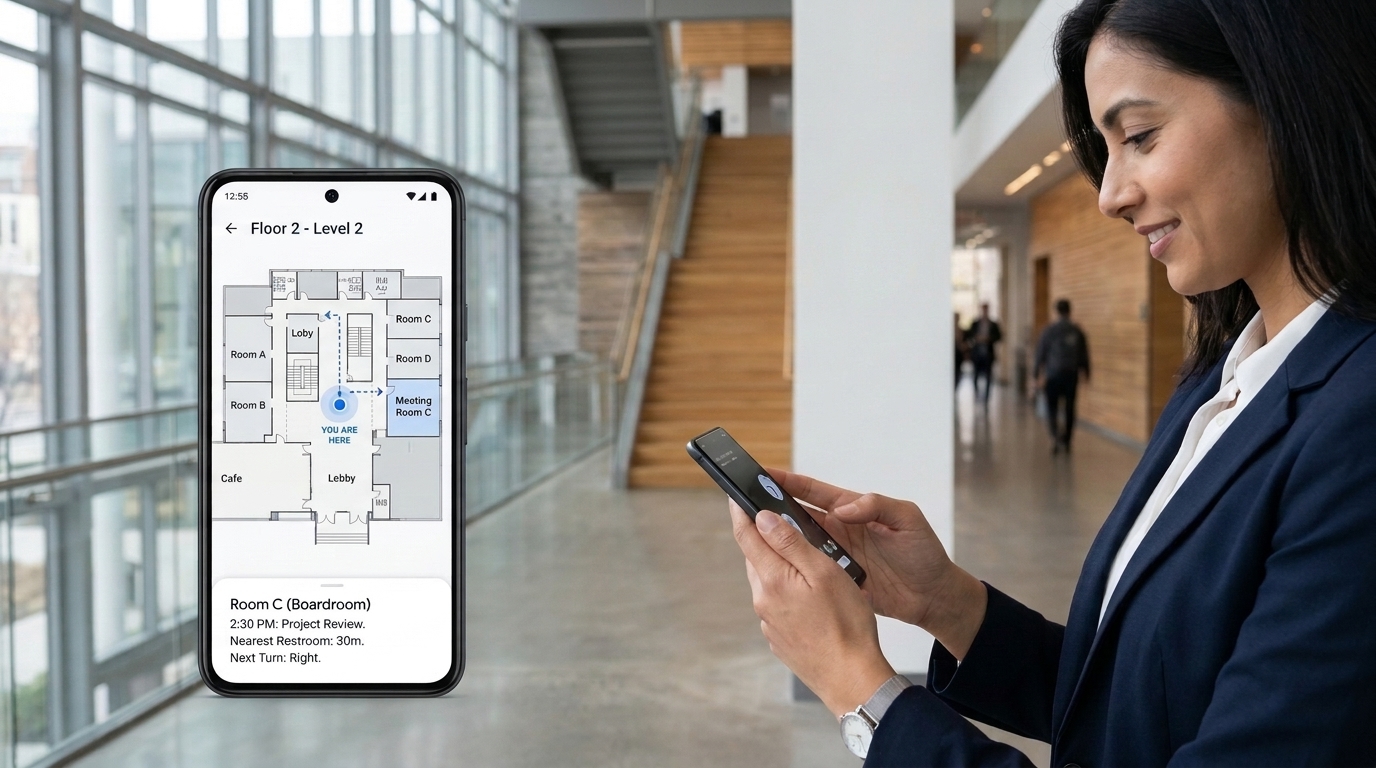
Indoor location intelligence unlocks its full commercial value when delivered directly where people make decisions and interact: on the smartphone of the customer, visitor, or employee. While legacy RTLS installations lock location data inside isolated control rooms, the modular Safectory Mobile Location Data SDK bridges the gap into native iOS and Android apps with 100% client-side privacy and minimal battery drain.
Products used in this solution


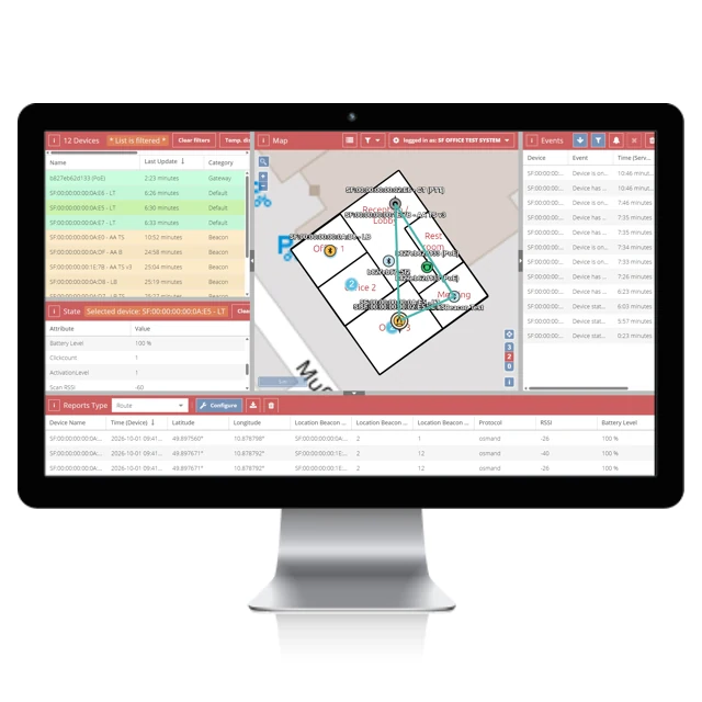
- On premise or via cloud
- Device and data management
- Open data and REST/websocket API
The Architecture Principle: Edge Intelligence with the Mobile Location Data SDK
Location awareness becomes a powerful operational lever when it connects the physical surroundings of the user with relevant digital content in real time. Our three-tier architecture strictly separates radio signal emission from centralized user tracking.

▼ Unidirectional BLE radio beacons (zero return channel)
▼ Real-time coordinate and zone trigger delivered to app logic
3. Application Layer: Field-Proven Scenarios and Use Cases
Our mobile positioning framework empowers customer and employee applications across diverse industries. Explore the dedicated implementation scenarios below:
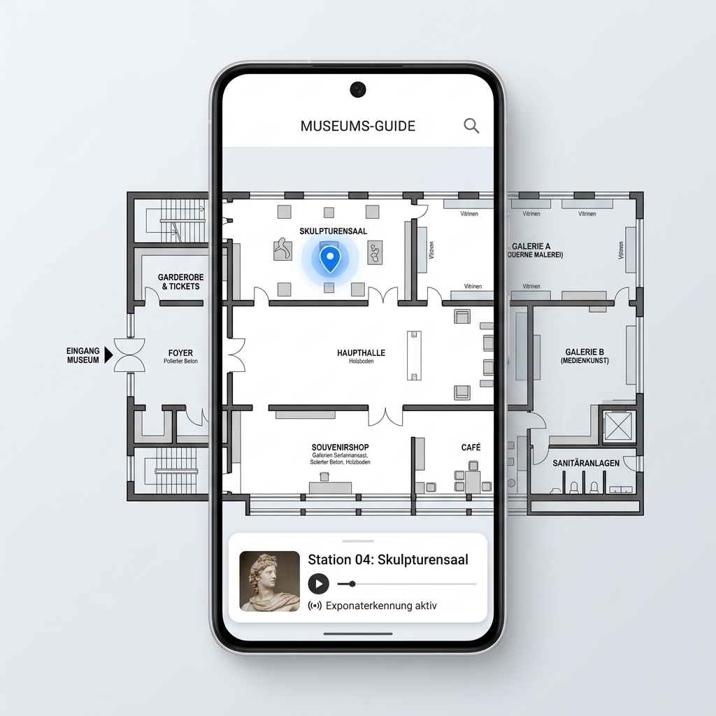

The 4 Core Application Domains of Mobile RTLS Integration
1. Museums and Culture: Dynamic Exhibition Balancing and Adaptive Media Guides
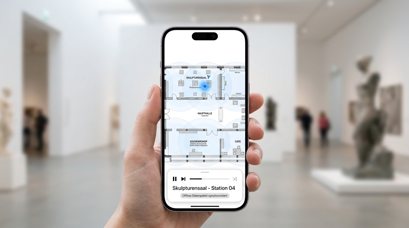
Traditional audio guides force visitors to type exhibit numbers or scan QR codes. With the museum BLE media guide scenario, the visitor smartphone automatically recognizes nearby artworks and triggers audio commentary right as the visitor pauses in front of the display. Based on user preferences, the app delivers child-friendly storytelling, multi-language tracks, or accessible sign-language video overlays, while curators balance visitor flows across exhibition halls.
2. Cruise Ships and Hospitality: Passenger Services, Deck Plans and KidsFinder
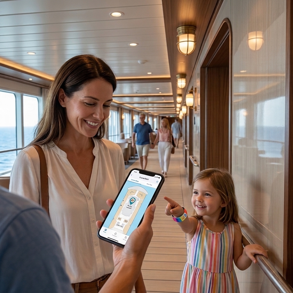
Steel bulkheads and multi-story superstructures block satellite GPS inside passenger vessels. Using Safectory beacons across cabin corridors and public decks, guests navigate effortlessly to restaurants, theaters, and lounges. For families, the cruise ship KidsFinder solution pairs waterproof BLE wristbands with the ship app so parents can locate children deck-accurately and receive instant geofencing alerts near restricted areas.
3. Retail and Shopping Malls: Smart Shopping Lists and Context-Aware Proximity Marketing
Across large store formats, the retail proximity marketing integration automatically sorts digital shopping lists along the fastest walking route through the aisles. When a shopper lingers in front of a promotional shelf, relevant cross-selling offers or loyalty coupons appear directly on the screen. Because positioning runs locally on the smartphone, retailers achieve significantly higher opt-in and coupon redemption rates.
4. Healthcare and Hospitals: Patient Wayfinding, Waiting Time Management and Staff Relief
Sprawling hospital campuses frequently overwhelm patients and visitors. Interactive smartphone wayfinding guides outpatients step by step from the parking garage through registration to the exact examination room. If diagnostic or surgical schedules shift, the app notifies the patient discreetly and navigates them back in time for their call, relieving reception and nursing staff from repetitive directions.


Frequently Asked Questions (FAQ) on the Mobile Location Data SDK
GDPR-compliant indoor positioning on smartphones – modular, responsive and battery-friendly
1. Does indoor positioning work when the smartphone is offline?
Yes. At the start of the session, the Safectory Mobile Location Data SDK downloads all floorplans, beacon coordinates, and contextual zone rules from the local on-premise server. Afterwards, distance calculation and zone triggering run autonomously on the smartphone without requiring a continuous internet connection.
2. Do existing Wi-Fi or enterprise IT networks need to be upgraded?
No. Safectory location beacons operate completely autonomously on long-life batteries (over 10 years for the AA-Beacon and typically approx. 18 months for the Lynmouth Beacon). No network cables, IP addresses, or corporate Wi-Fi security certificates are needed.
3. How much development effort is required to integrate the SDK into an existing app?
Thanks to clean native APIs and documented sample projects, development teams typically integrate the positioning library into an existing iOS or Android application within 1 to 2 development days.
Ready to integrate mobile location data into your application?
Speak with our IoT and RTLS specialists about architecture options, SDK documentation, and pre-configured evaluation kits for your project.
Technical Setup: Single Point of Information and Maintenance-Free Operation
Single Point of Information (SPOI) on the On-Premise System
All map geometries, floorplans, beacon IDs, and trigger zones are maintained centrally within the local Safectory Track Software on-premise server. The Mobile Location Data SDK synchronizes this authoritative configuration package onto the mobile device when the app launches. Whenever exhibitions, floor layouts, or retail aisles change, updated maps and beacon rules distribute automatically, and retired beacons can be muted with a single click without physical hardware removal or app store releases.
Minimal Battery Impact and Native Framework Support
Through optimized Bluetooth scan duty cycles and hardware-accelerated signal filtering, the SDK consumes less than 2% of smartphone battery capacity per day during active use. Engineering teams can embed the native libraries for iOS (Swift and Objective-C) and Android (Kotlin and Java) or connect cross-platform frameworks such as Flutter and React Native via clean wrapper interfaces.
Server-Side Interfaces (Safectory Track Backend)
Alongside client-side positioning, the Safectory Track Backend provides standardized REST APIs, Webhooks, and WebSocket streams. This allows enterprises to feed aggregated zone occupancy and asset coordinates directly into ERP, CRM, PMS (Property Management), or control room platforms, and to render responsive web maps on digital kiosk terminals.
Further Solutions Overview



Optical and Wireless Visitor Counting
Zone and Occupancy Analysis
Path and Dwell-Time Analytics